
In 1960, India signed what was meant to be a landmark agreement for peace and stability in South Asia. Brokered by the World Bank, the Indus Waters Treaty was designed to prevent water from becoming another flashpoint between two newly independent nations still recovering from the trauma of Partition.
More than six decades later, however, the treaty deserves a harder, more honest examination. For while it has often been praised internationally as a model of water diplomacy, a closer look reveals a deeply unequal arrangement—one in which India, despite being the upper riparian state with geographic control over the headwaters of the Indus river system, accepted extraordinary restrictions on its own sovereign rights, surrendered access to the majority of the basin’s waters, and even paid Pakistan to make the deal work.
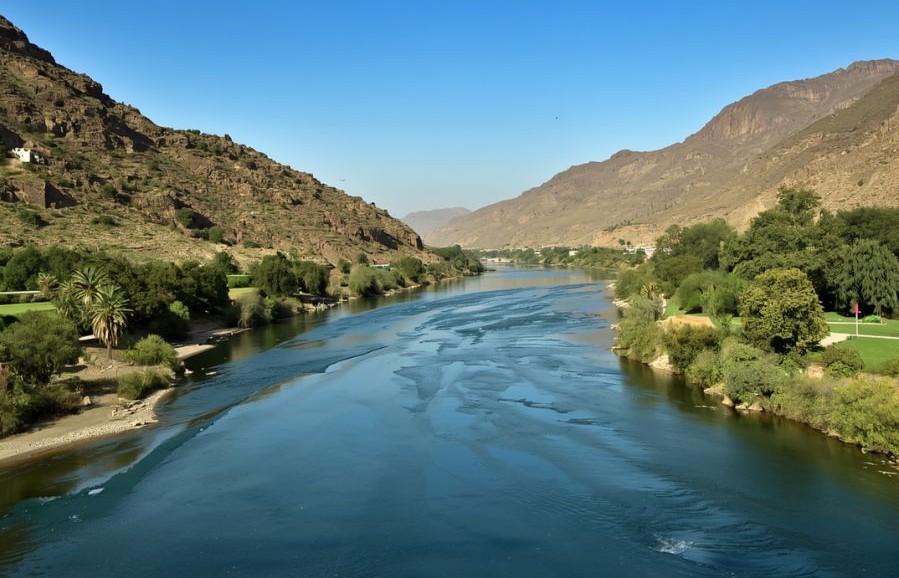
The Indus river system consists of six major rivers—the Indus, Chenab, Jhelum, Ravi, Beas, and Sutlej. When British India was partitioned in 1947, these rivers were divided between India and Pakistan. Geography should have given India significant leverage. As the upstream nation, India controlled the headwaters of much of the system. Pakistan, by contrast, depended heavily on downstream flows to sustain its agricultural heartland in Punjab and beyond.
Yet when negotiations began, India approached the matter with the mindset of a responsible regional power. It sought stability, development, and a workable relationship with its western neighbor. Pakistan approached the negotiations differently—often delaying, objecting, and pressing for maximal concessions.
The imbalance became clear in 1954, when the World Bank put forward its first major proposal. Under that framework, India was asked to abandon planned development projects on the upper reaches of the Indus and Chenab, forgo the diversion of roughly six million acre-feet of Chenab water, and accept restrictions on future water development in regions such as Kutch. These were not minor technical adjustments. They were major strategic concessions.
India accepted the proposal almost immediately, signaling its willingness to move toward resolution.
Pakistan did not formally accept it for nearly five years.
That delay set the tone for what followed. India’s willingness to compromise became a structural disadvantage. Pakistan learned an important lesson early in the process: delay could produce more concessions than cooperation.
When the treaty was finally signed on September 19, 1960, the final allocation made the imbalance even clearer.
India received exclusive rights over the three eastern rivers—Ravi, Beas, and Sutlej—whose combined annual flow is approximately 33 million acre-feet. Pakistan, meanwhile, received rights over the three western rivers—Indus, Jhelum, and Chenab—whose annual flow is approximately 135 million acre-feet.
In effect, Pakistan received roughly 80 percent of the basin’s waters.
India received about 20 percent.
This was not a case of India gaining access to new resources. India was essentially granted formal recognition of water it was already using, in exchange for relinquishing claim to the far larger western river system flowing through its own territory.
But the most extraordinary concession was financial.
India agreed to pay approximately £62 million—worth billions in today’s terms—to help Pakistan build replacement infrastructure.
Read that again: the upstream country not only gave away most of the water, it also paid the downstream country to accept the arrangement.
There are few, if any, precedents in international water diplomacy where a nation has paid for the privilege of surrendering its own strategic leverage.
The inequities did not end with allocation.
Under the treaty, India’s use of the western rivers inside its own territory remains subject to strict design, storage, and operational restrictions. India faces limits on irrigated cropped area, on how much water it can store, and on the engineering design of run-of-river hydropower projects.
In practice, the treaty treats India—the upper riparian state—as the party requiring oversight and restraint, while Pakistan benefits from guaranteed flows with comparatively fewer reciprocal constraints. India’s use of the western rivers within its own territory is subject to strict design, storage, and operational restrictions, while Pakistan faces no equivalent obligations under the treaty framework. The result is a system that constrains India’s lawful development of resources within its own territory while guaranteeing downstream flows to Pakistan.
This perspective piece draws from the first of a two-part series written by former Indian Commissioner for Indus Waters, Pradeep Kumar Saxena.